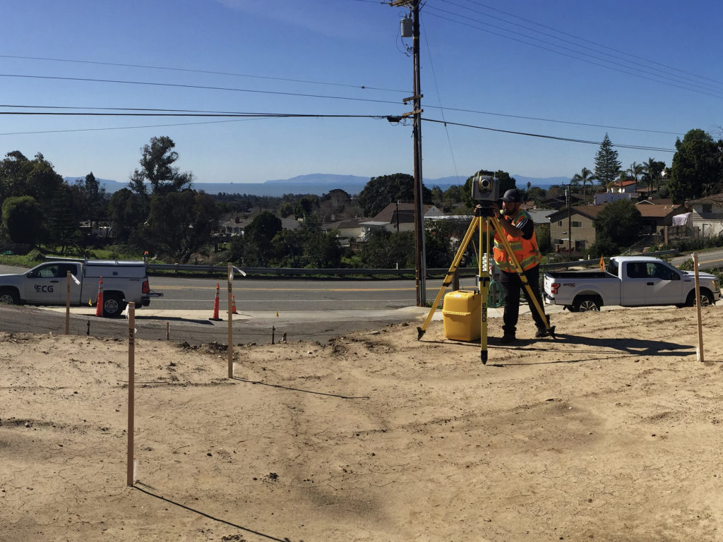
Our skilled survey teams provide flexibility & accuracy using leading measurement technologies, and project continuity & efficiency with versatile “field to finish” capable staff.
Related Services
- Boundary Surveys
- Topographic Surveys
- Construction Staking
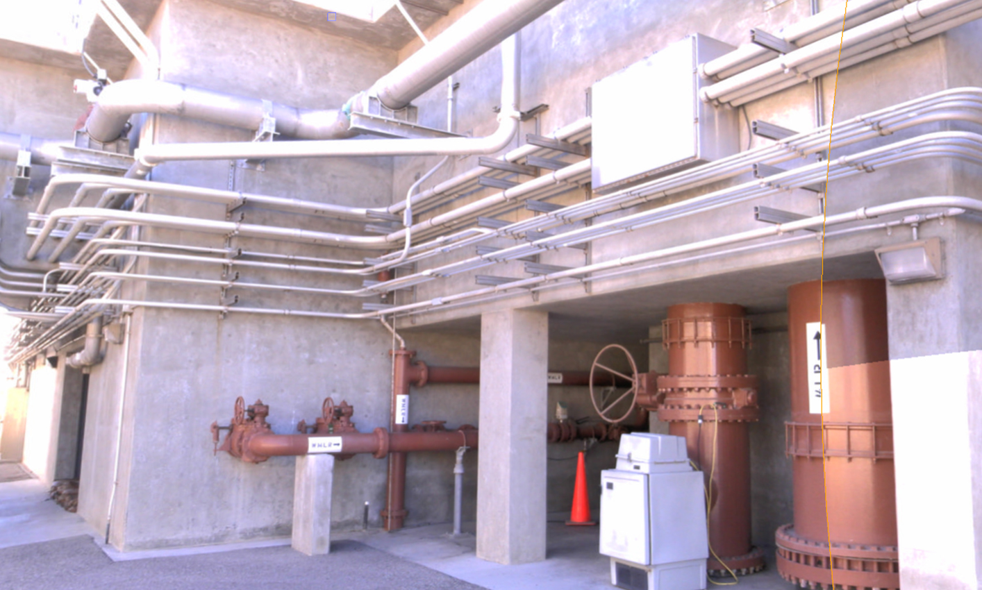
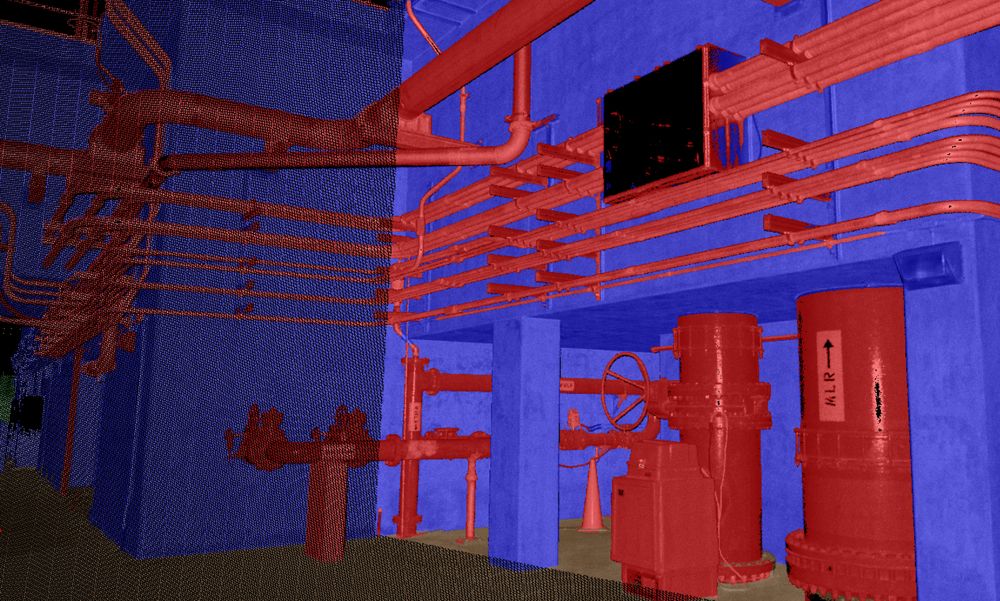
- 3D Laser Scanning / High Definition Surveying
- Subdivision Mapping
- Lot Line Adjustments & Mergers
- Legal Descriptions
- Right of Way Surveys
- American Land & Title Association (ALTA) Surveys
- Monitor Well Locations
- Aerial Mapping and Control
- Structural & Deformation Monitoring
- Geodetic Control Surveys
- LAFCO Annexation Documents
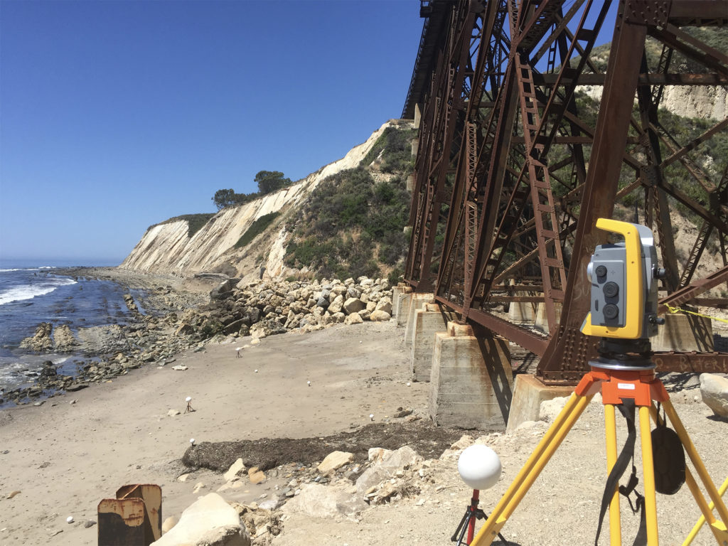
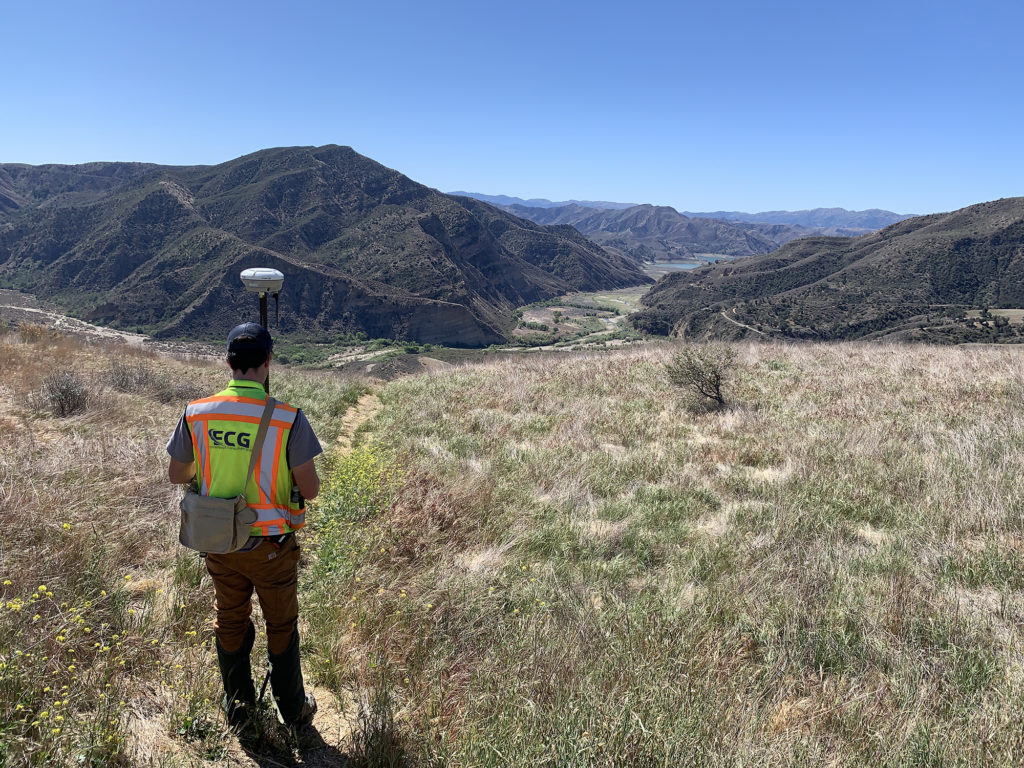
ECG surveyors have been providing high quality land surveying services to central and southern California for over two decades. The ECG team includes multiple Licensed Land Surveyors, LSITs, and degrees in Geomatics, Surveying and Civil Engineering. Our versatile staff performs “field to finish” work, delivering superior products efficiently and timely. Team members apply appropriate technologies including High Definition Surveys (scanning), GPS, conventional total stations, and small Unmanned Aerial Vehicles (drones) to meet the needs of the design team and owner budgets.
